Plan a run by chat, on a map.
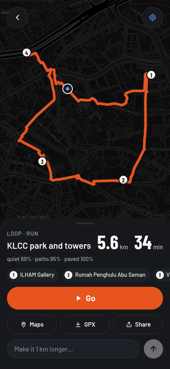
Say the run you want. Get a route with landmarks as checkpoints, then follow it with GPS.
- “5 km loop past the landmarks”
- “20 min at 8 min/km, quiet streets”
- “a walk through the parks”
Open rmap Free · no tracking · installs like an app
Three taps.


- Landmarks as checkpoints
- Draw your area
- Follow with GPS
- Works offline
- GPX & Google Maps
- Share a route
- Dark mode
- Free, no tracking
